1 / 1
-
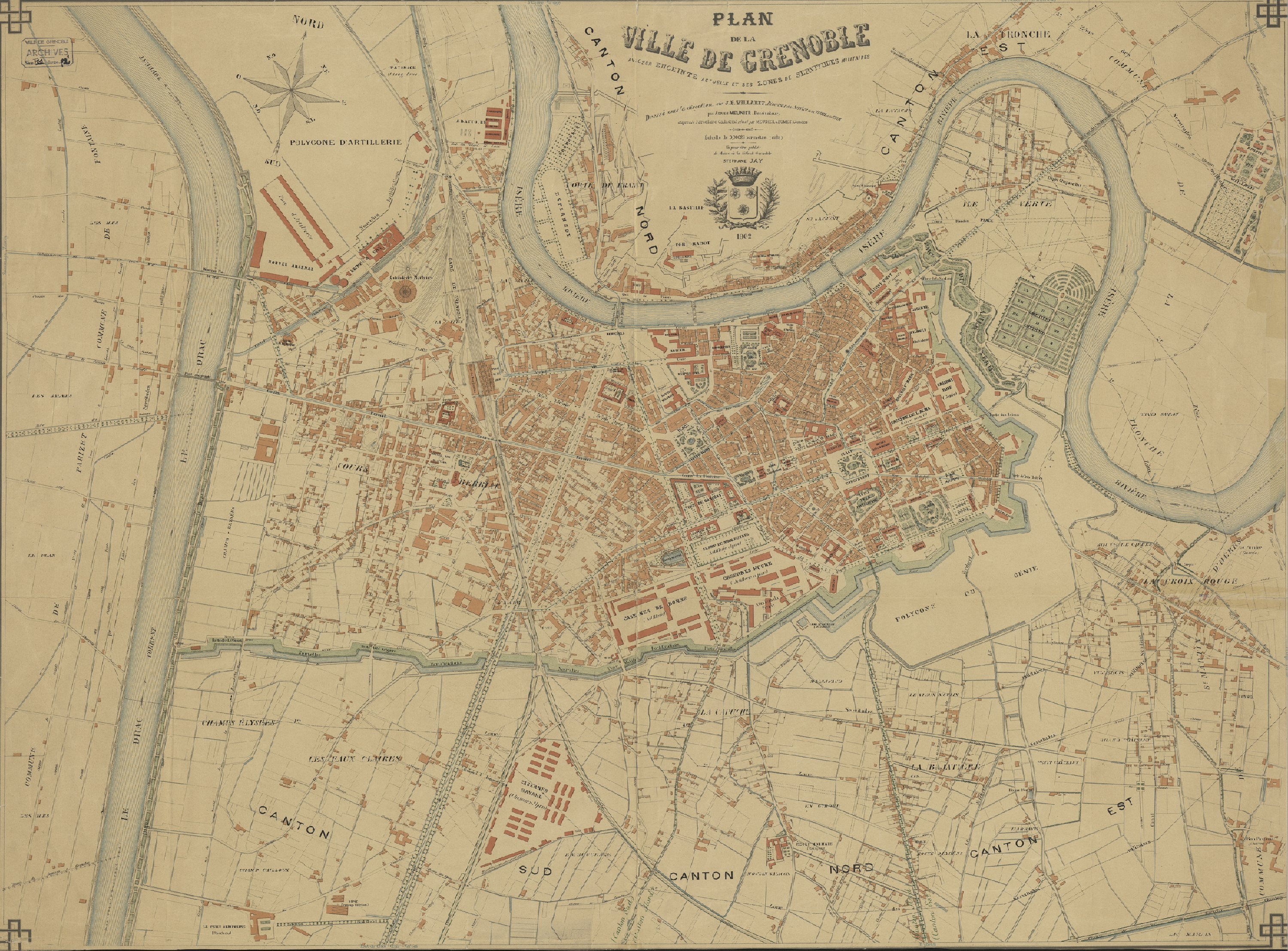
Map of Grenoble in 1902 After the First World War, Grenoble entered a pivotal period in its urban history. The city was enclosed by military ramparts which the local authorities sought to remove in order to develop the town. Negotiations with the military were complex, but in 1919 the Cornudet Act required local authorities with more than 10,000 inhabitants to draw up a plan for urban development, improvement and expansion. Elected mayor that same year, Paul Mistral saw this legal requirement as an opportunity to free Grenoble from its city walls and usher the city into the modern age. In 1922, the task of drawing up the plan was entrusted to the architect and town planner Léon Jaussely, a leading figure in French town planning during the interwar period.
-
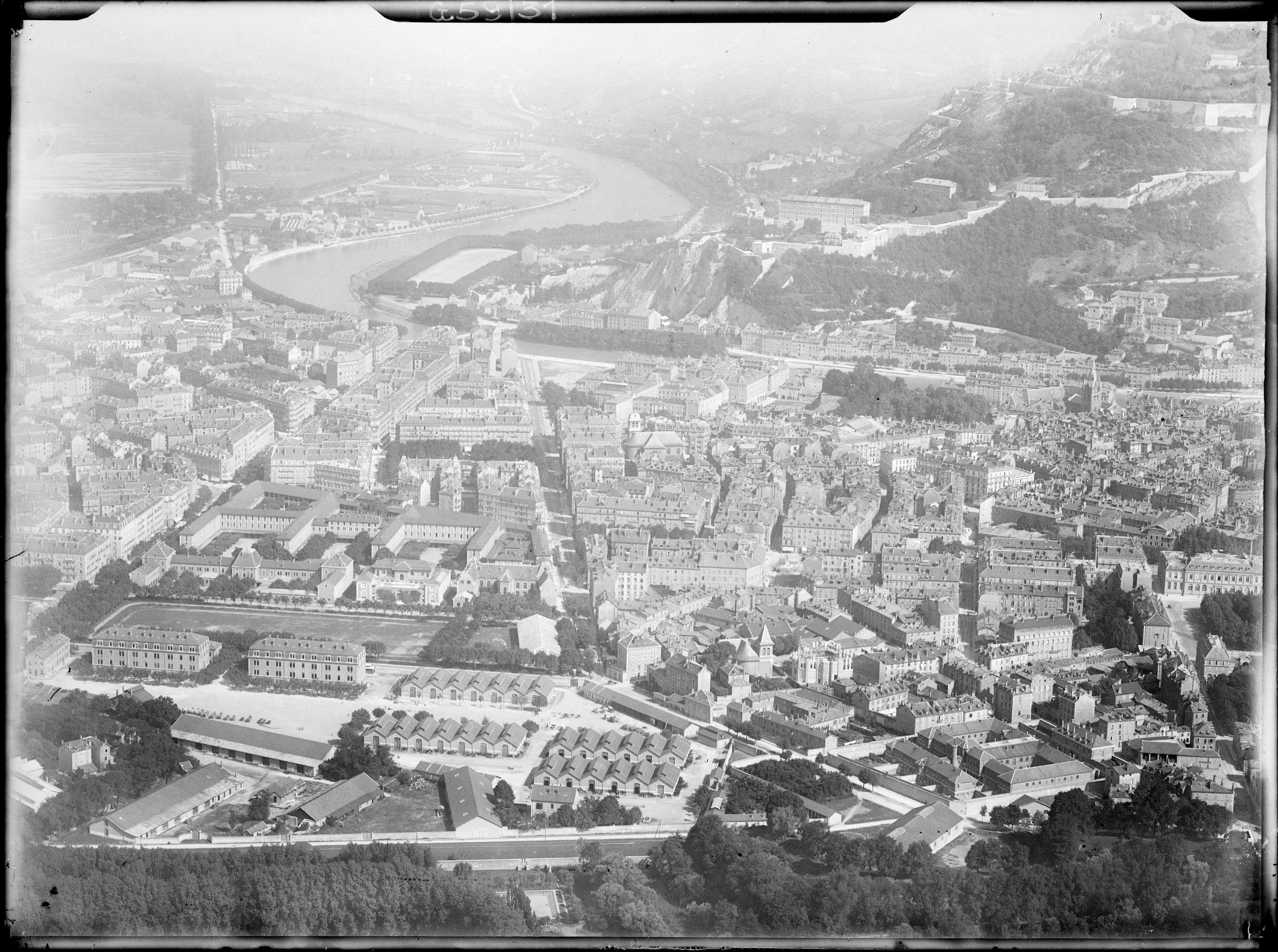
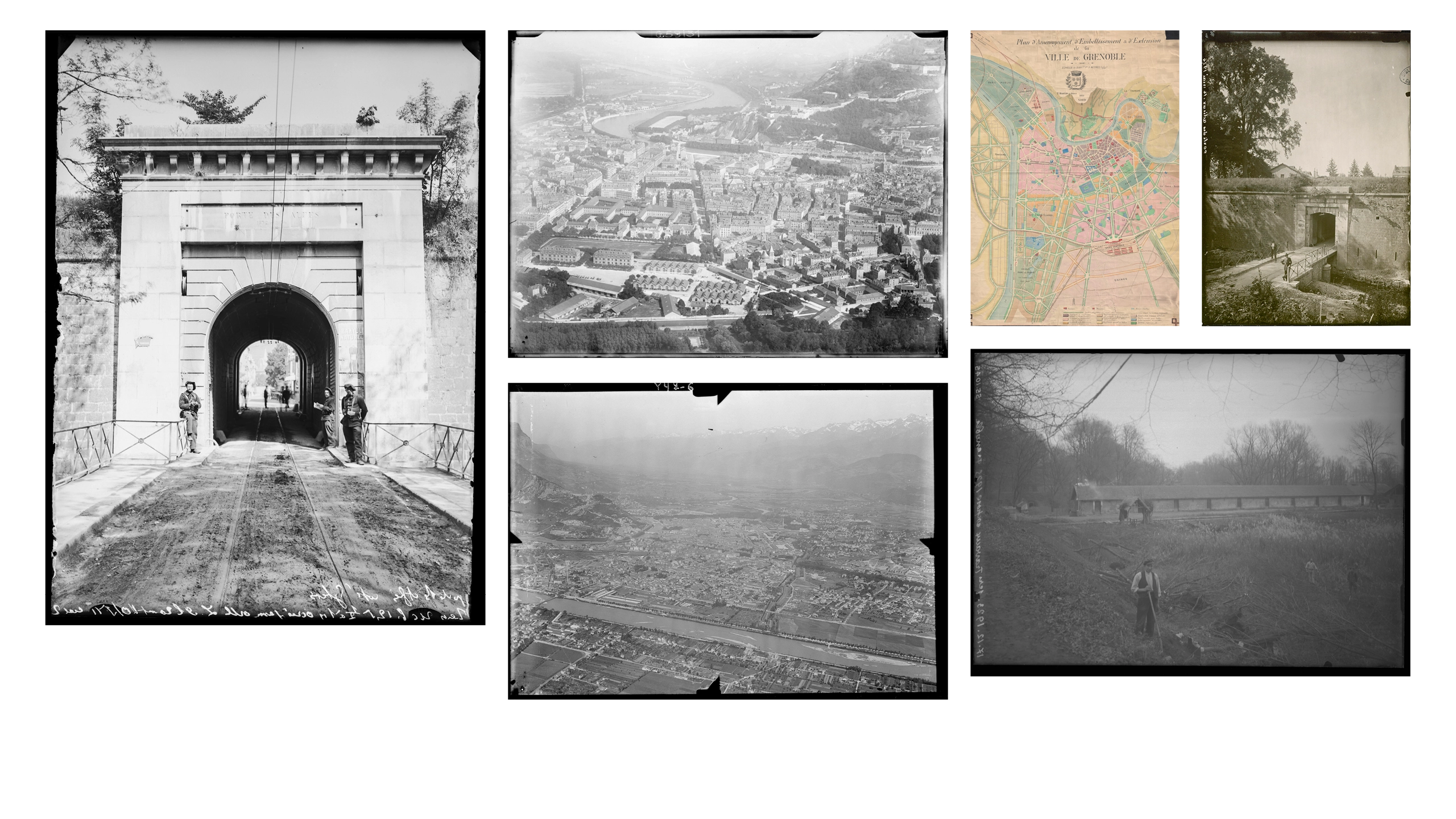
Grenoble in 1922 In 1922, Grenoble was still enclosed within the city walls built in 1870; the urban fabric expanded mainly within the area bounded by the fortifications to the south, the River Isère to the north and the River Drac to the west.
-
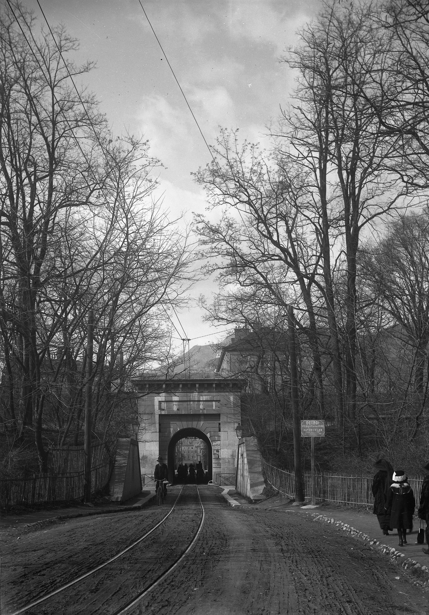
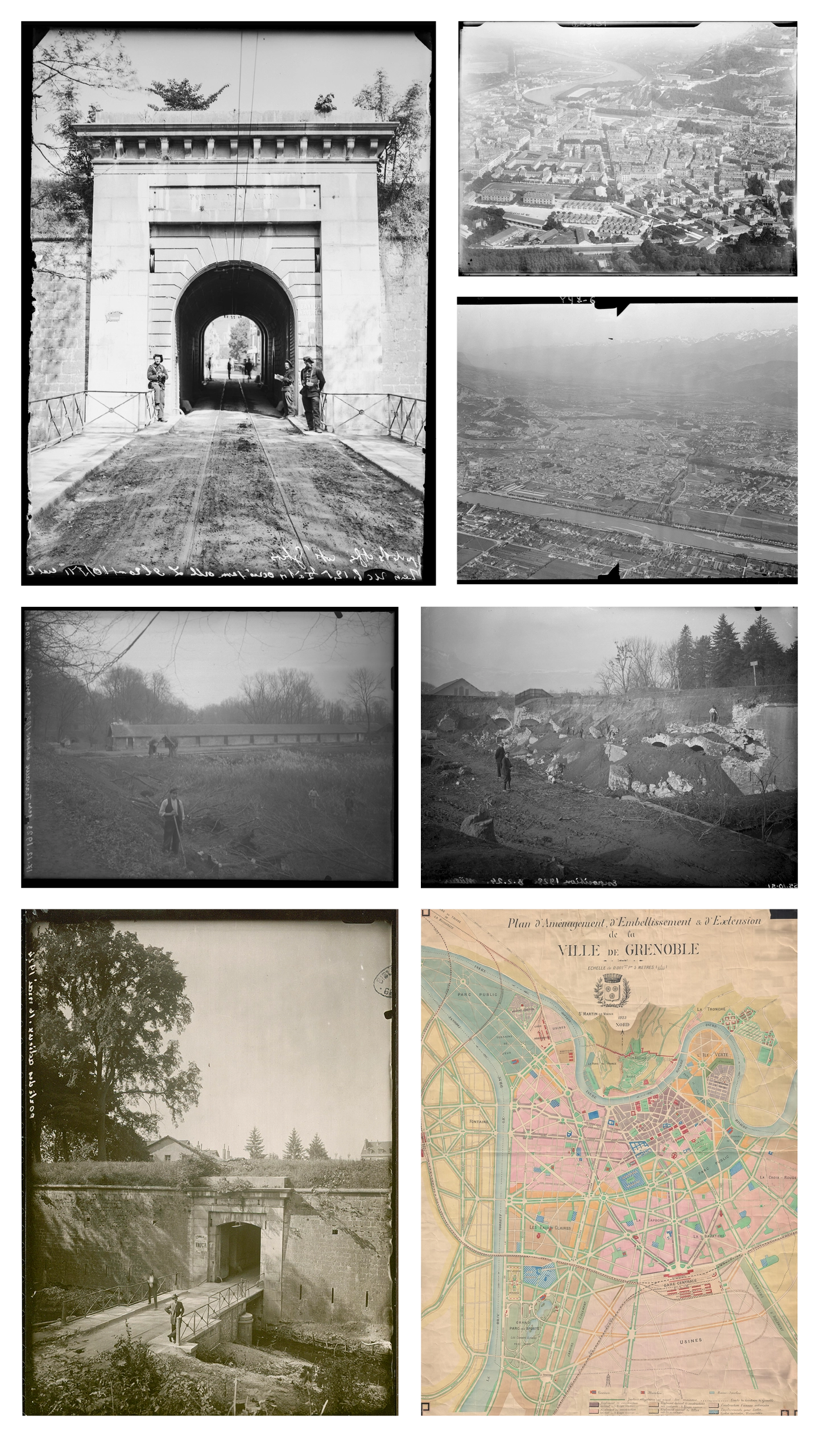
Porte des Alpes The Porte des Alpes, cut into the southern section of the city walls, was situated at the end of Rue de Strasbourg and provided access to the Polygone du Génie (the engineering corps training ground).
-
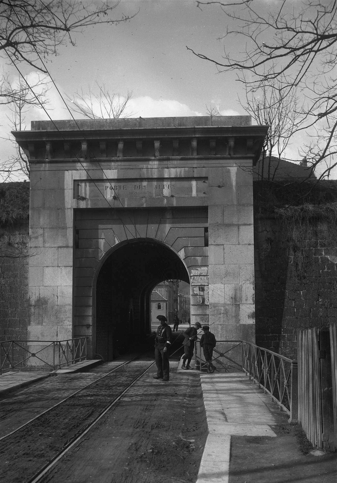
Porte des Alpes The Porte des Alpes, cut into the southern section of the city walls, was situated at the end of Rue de Strasbourg and provided access to the Polygone du Génie (the engineering corps training ground).
-
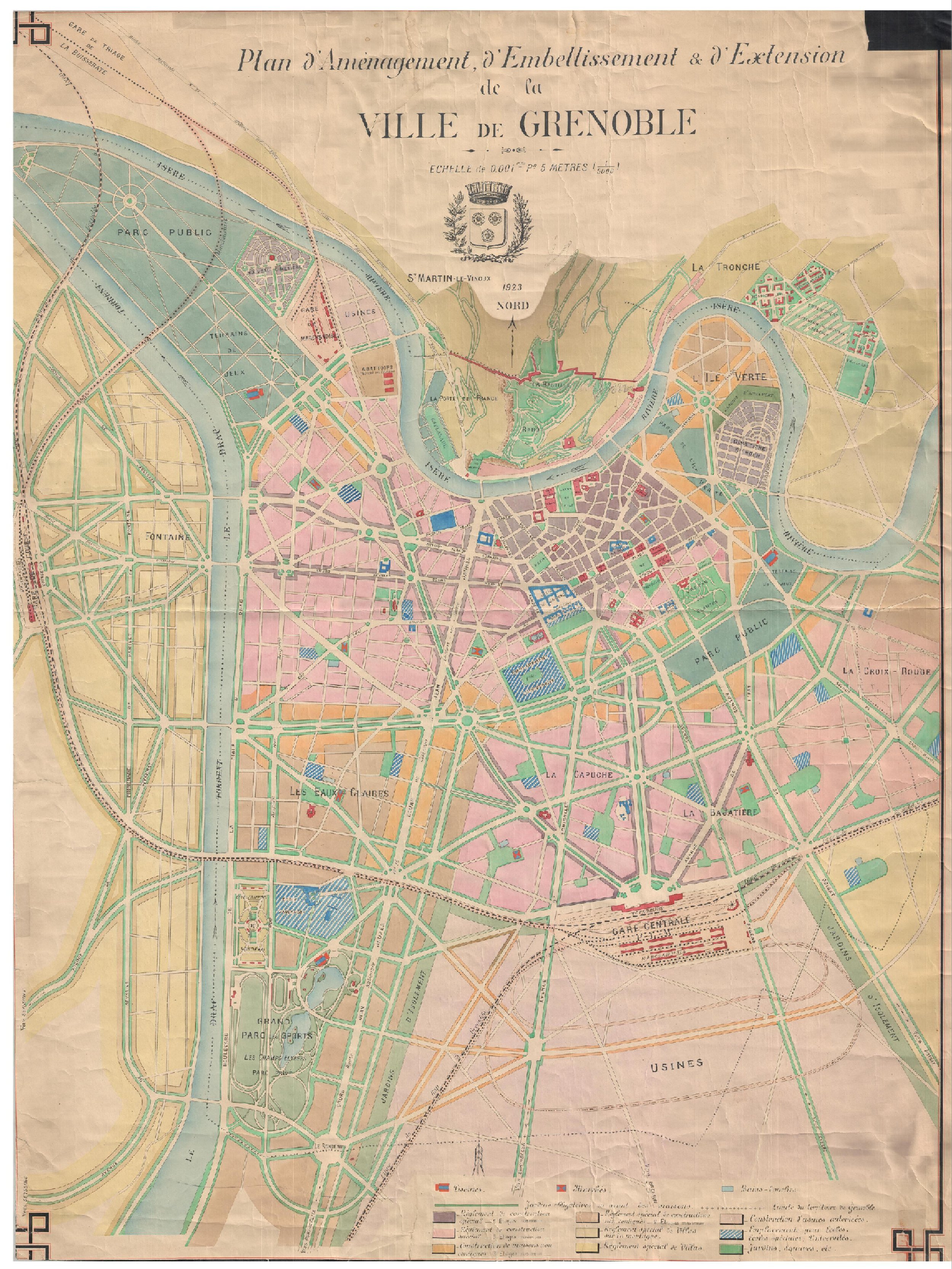
Jaussely Plan, 1923 Unveiled in 1923, the plan for development, improvement and expansion – known as the Jaussely Plan – provided for the development of the land freed up by the fortifications' demolition (approximately 240 hectares) and the construction of a wide ring road along their former boundaries. It anticipated the city's expansion southwards and also introduced the principle of zoning, with a view to a more logical organisation of the various urban functions required.
Finally, the Jaussely Plan provided for the creation of a park on the site of the Polygone du Génie, the military site intended to host the International Exhibition of Hydropower and Tourism. -
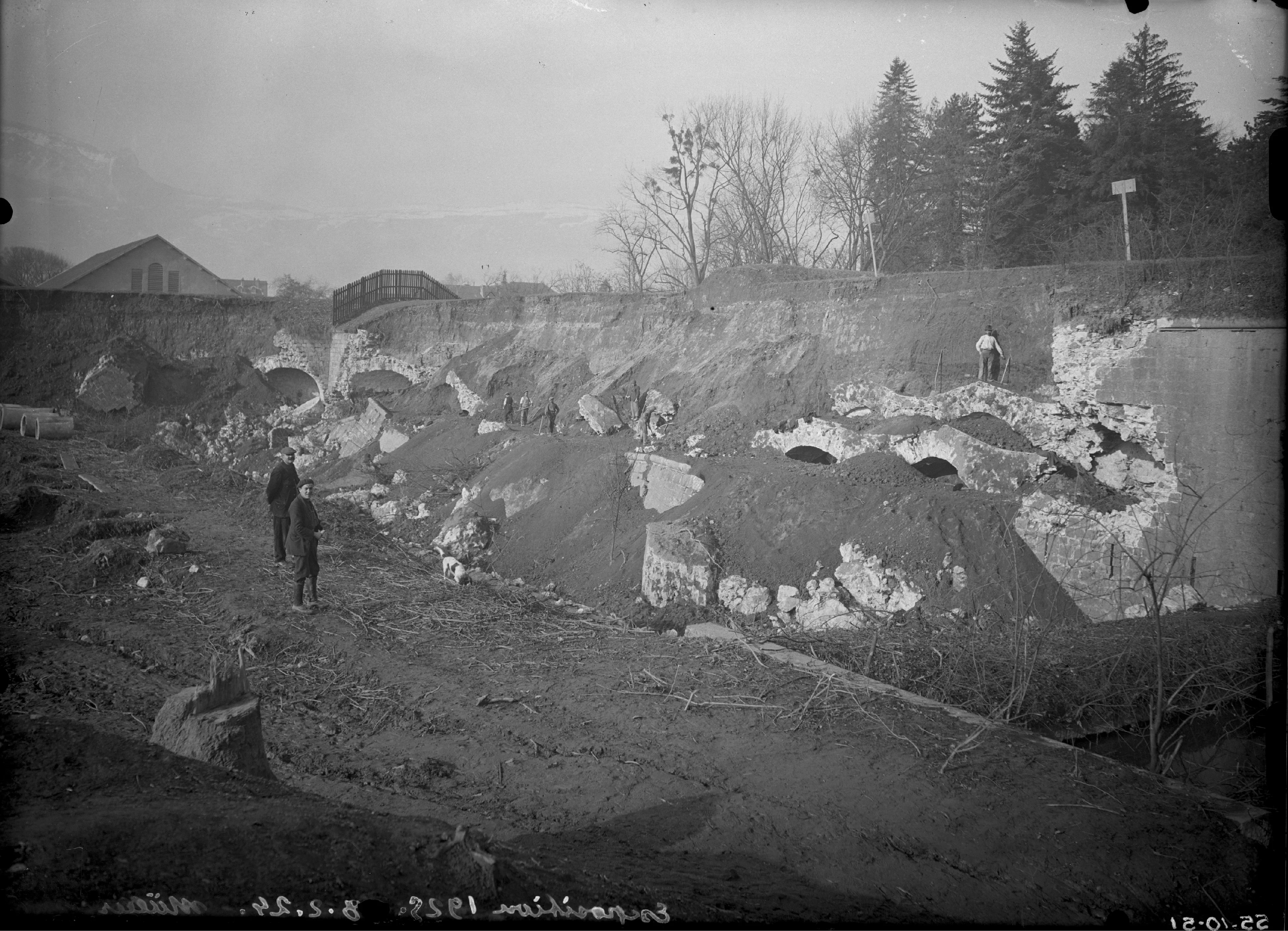
Demolition of the fortifications It was within this context that the Polygone du Génie took on a new purpose. As early as 1923, part of this vast military site, reserved for exercises and works carried out by the army's engineering corps, was handed over to the City to host the International Exhibition of Hydropower and Tourism, scheduled for 1925. This open space, close to the old town centre, provided the ideal venue for the upcoming event. However, preparing the site would require a great deal of work: demolishing the fortifications, filling in the moats and levelling the ground, channelling water and clearing vegetation. On 4 January 1924, earthworks for the future Exhibition Park officially began, and by the end of August, construction of the exhibition halls and pavilions could commence.
-
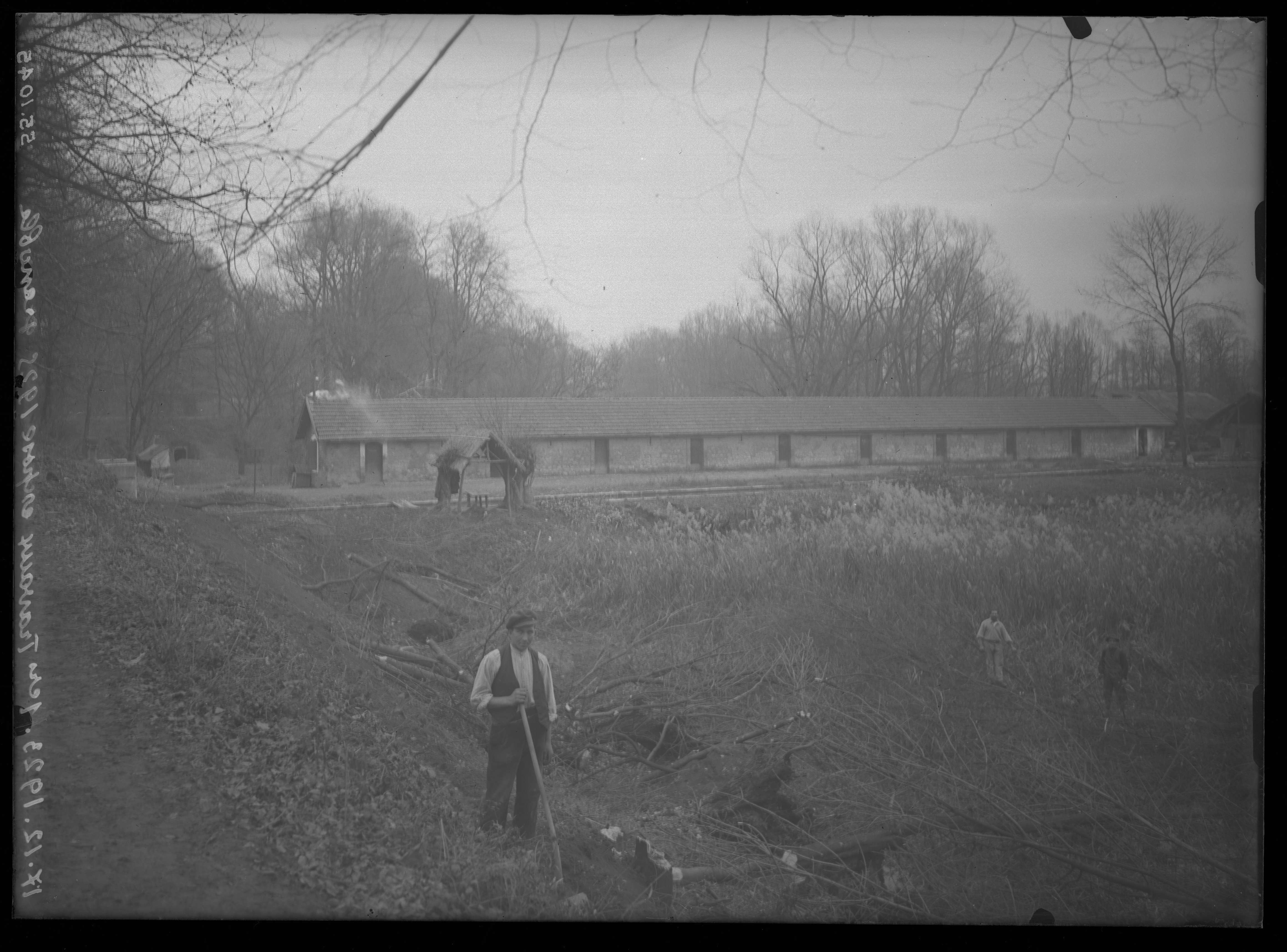
Preparing the ground -
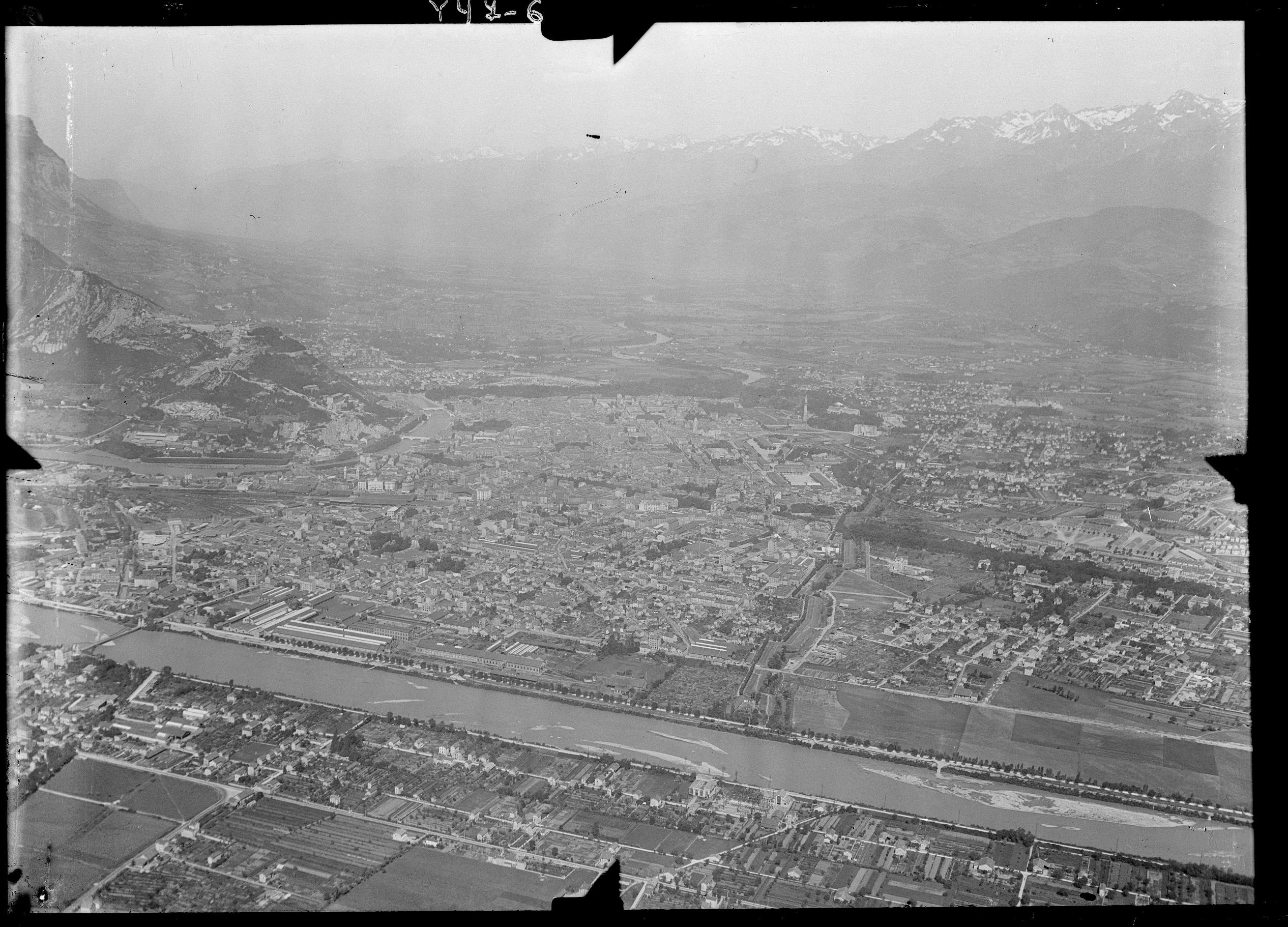
Grenoble in 1931 Although the Jaussely Plan was radically overhauled from 1930 onwards, it played a pivotal role in laying the foundations for Grenoble's new urban vision.